-40%
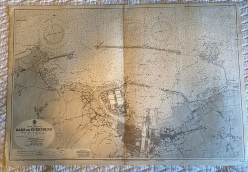
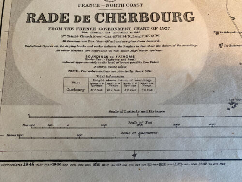
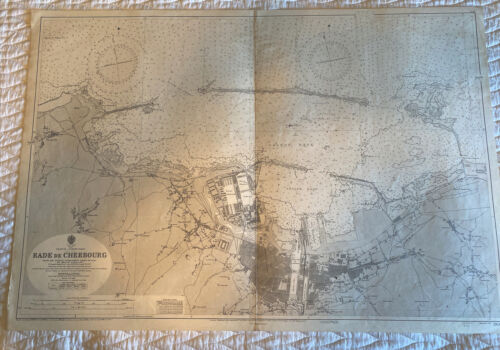
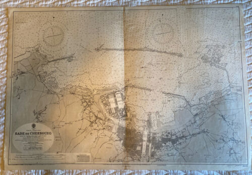
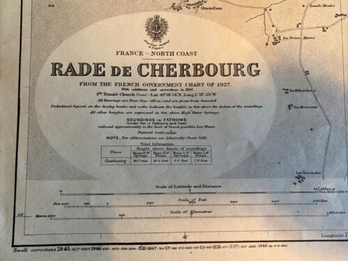
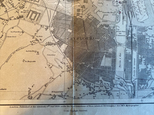
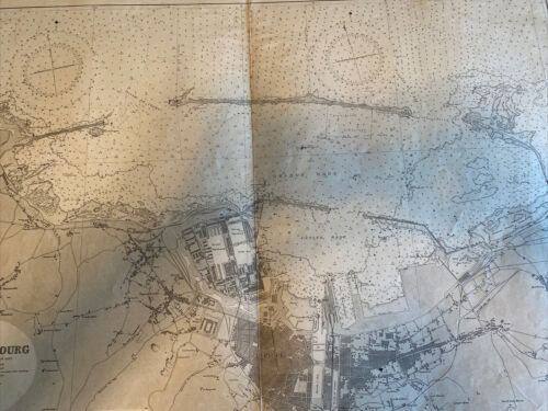
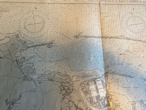
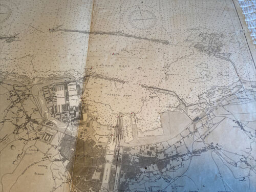
1948 Vintage Maritime Chart Cherbourg, France Harbor & channel Admiralty map
$ 35.9
- Description
- Size Guide
Description
Size when unfolded Approx: 25.5" in x 40" : 70cm x103cm1948 Vintage Crown Admiralty Chart / Map Cherbourg Harbor area, France. Made in London. Condition is used with signs of age, there are some paper discoloration areas and usual signs of age tonning. There are small navigational marks handwritten on the map. Very minor crumpled edges and stains marks exist, but there are no holes, perforations, or tears. Please review the clear pictures closely. I have another nautical map of the same area in of the North coast of France; please see my other sales at Remarkablecollectibles. The
Item is pre-folded and creased in the center (bi-fold), it will be shipped in a tube for safe secure and reasonable shipping.
