-40%
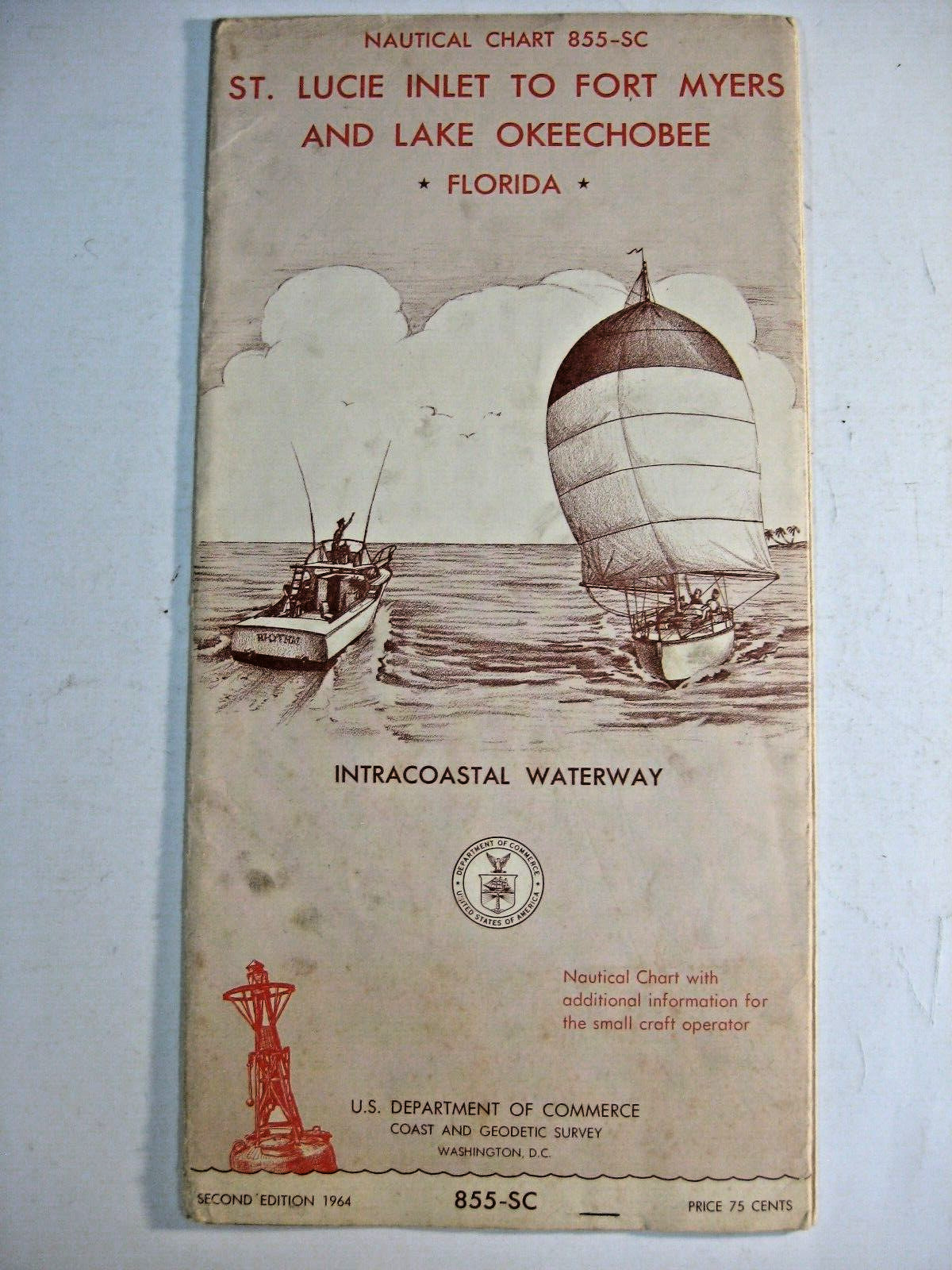
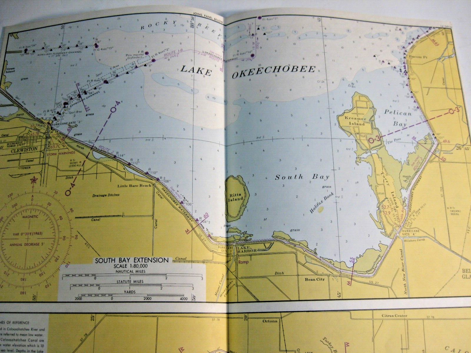
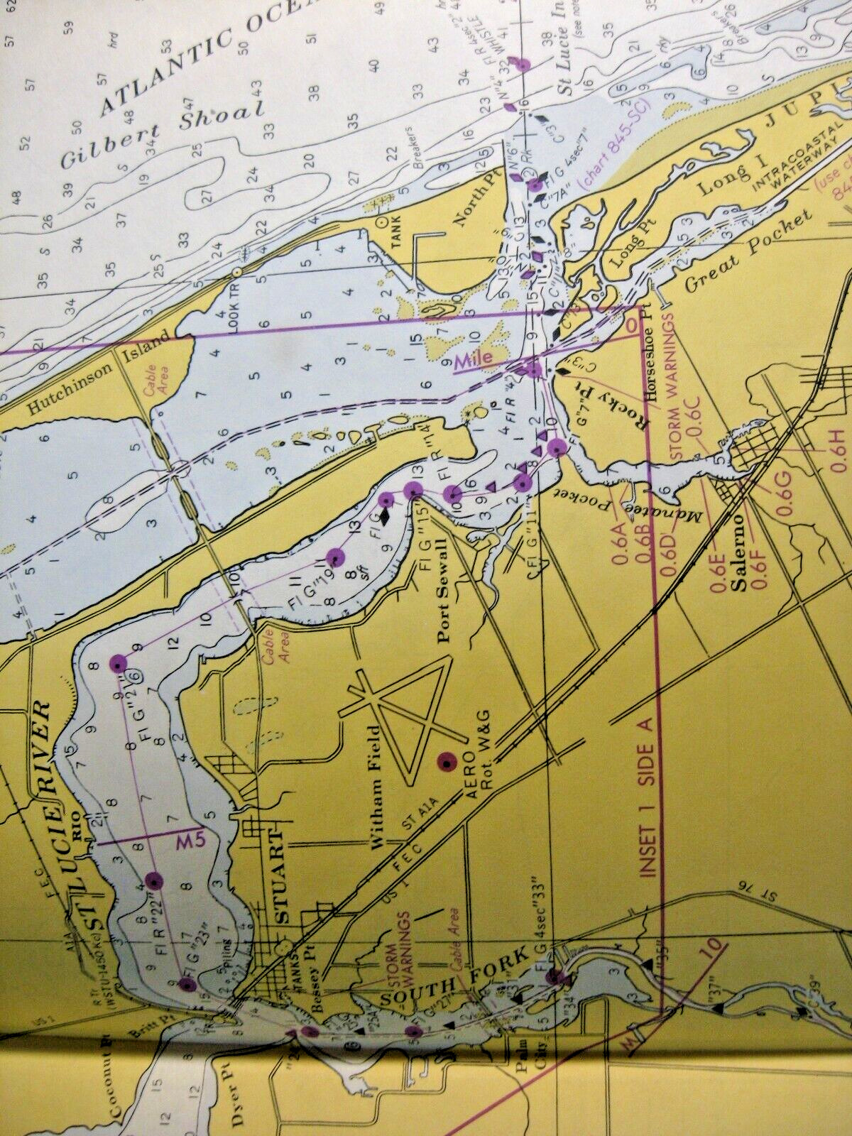
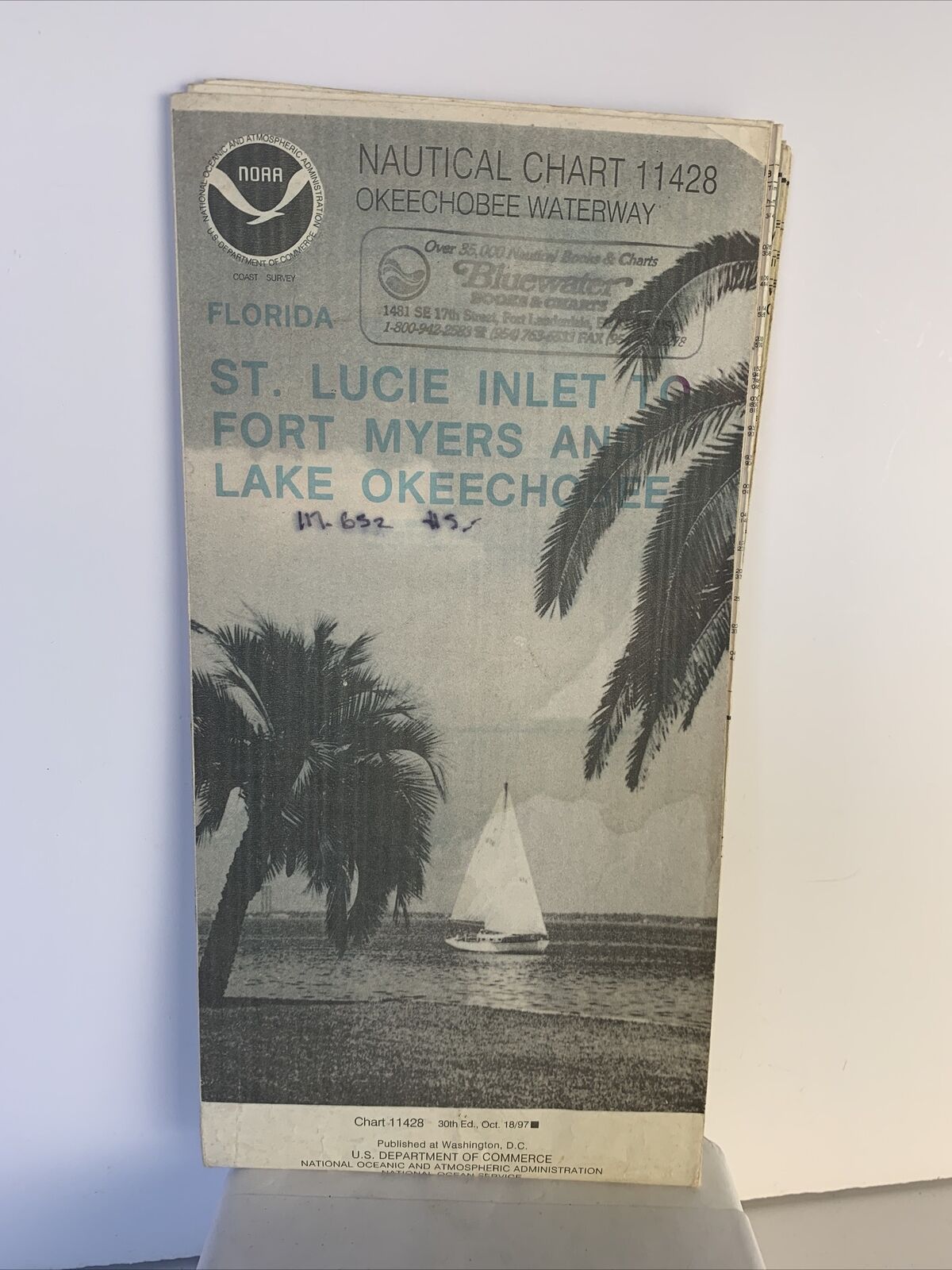
Nautical Chart Florida 1964 St. Lucie Inlet to Ft Myers + Lake Okeechobee
$ 13.17
- Description
- Size Guide
Description
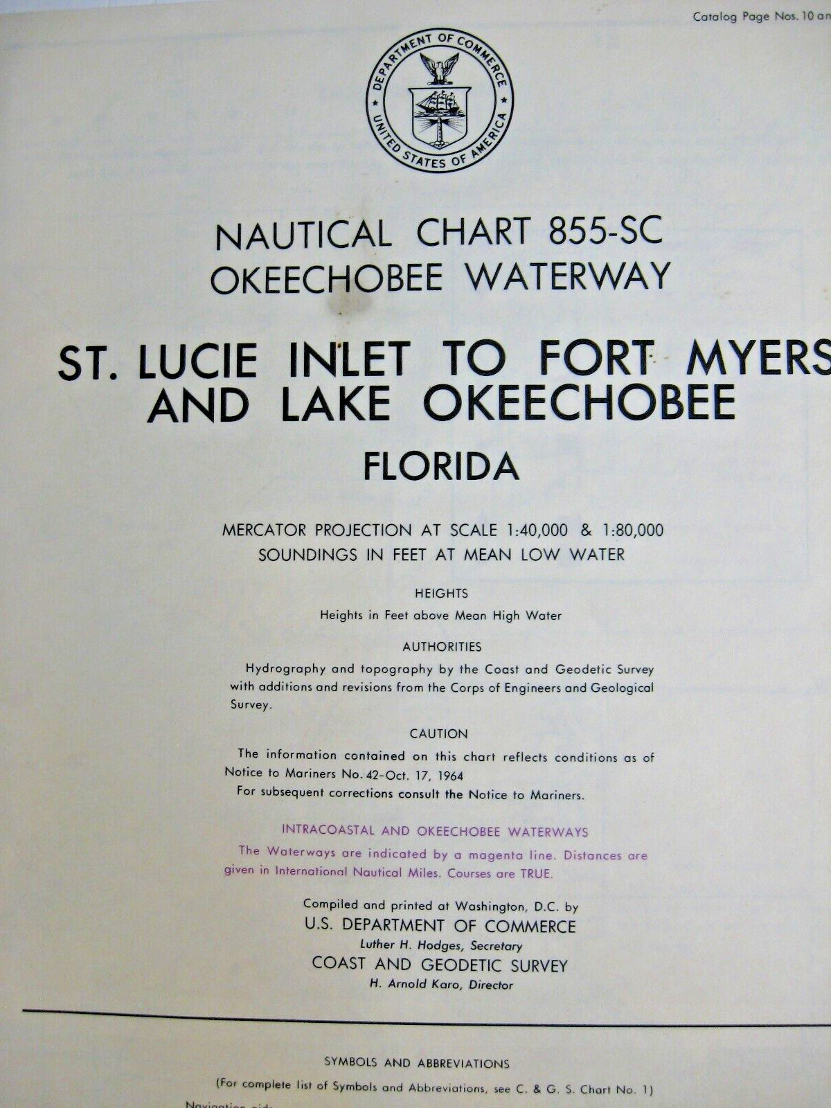
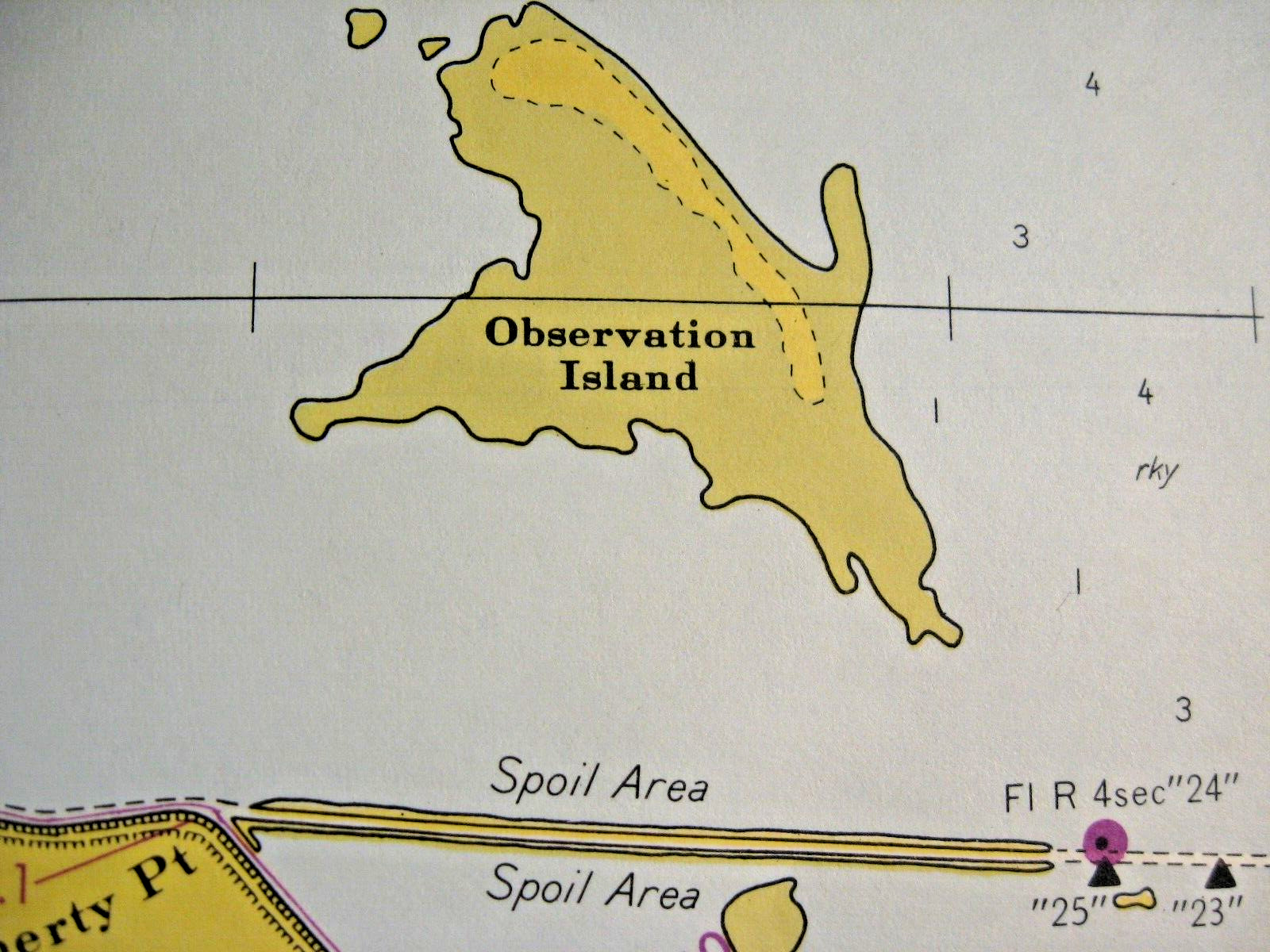
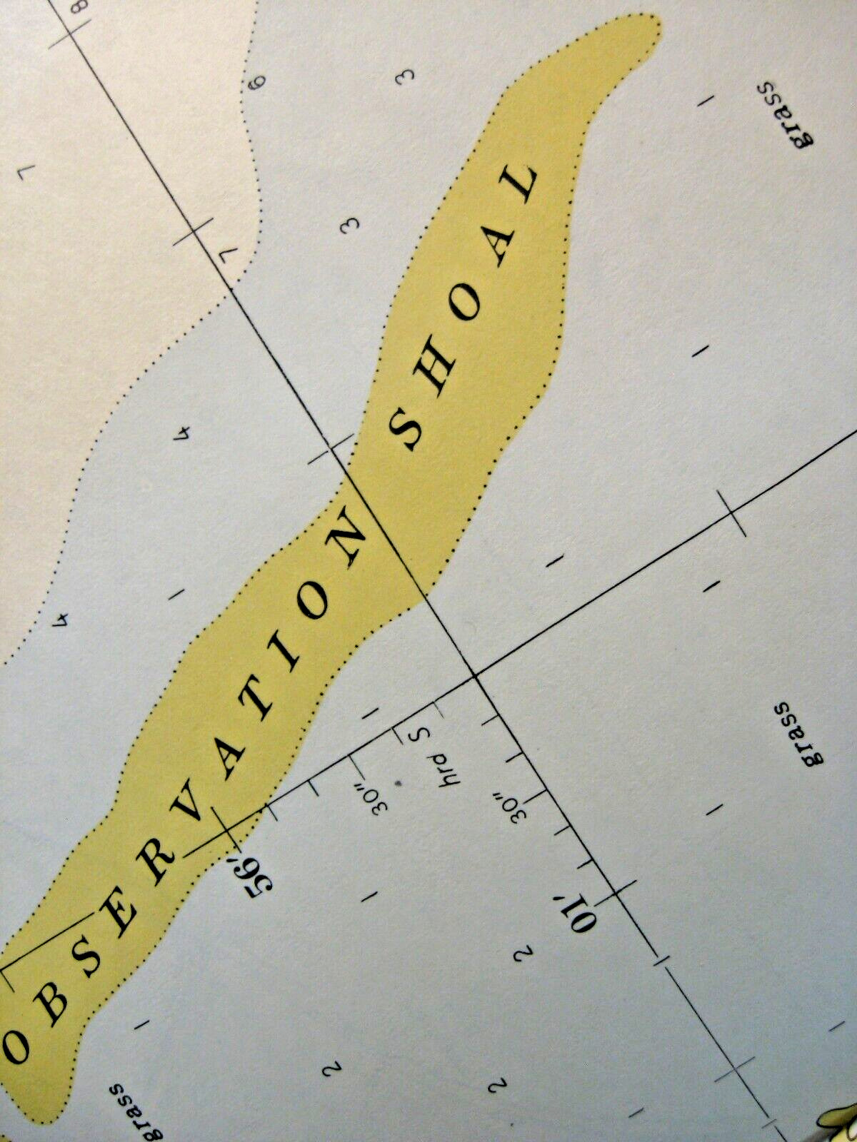
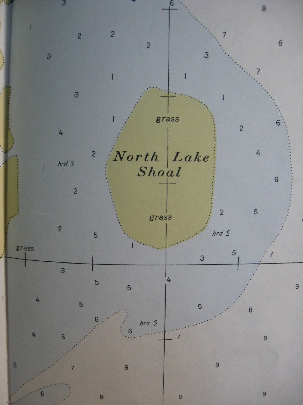
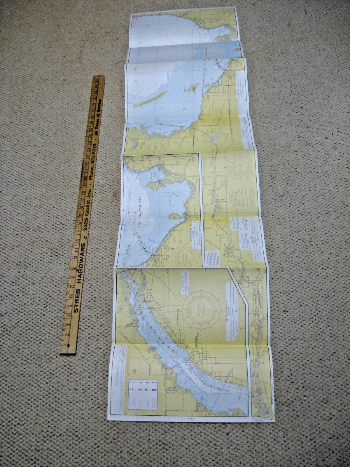
Nautical Chart.No. 855-SC Okeechobee Waterway.
St. Lucie Inlet to Fort Myers and Lake Okeechobee, Florida.
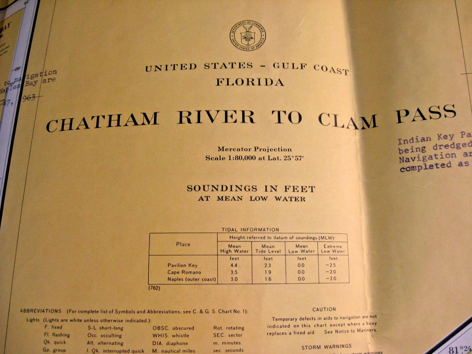
1964, 2nd Edition.
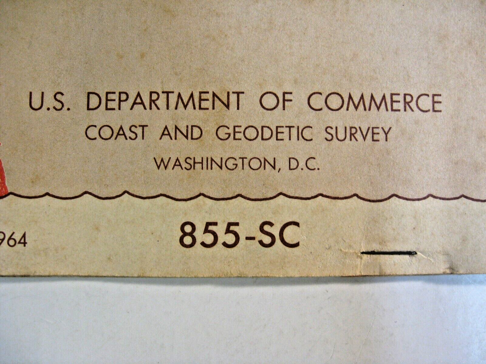
U.S. Department of Commerce, Coast and Geodetic Survey, Washington, D.C.
54 inches wide, extended
15 inches tall
Comes in a folder.
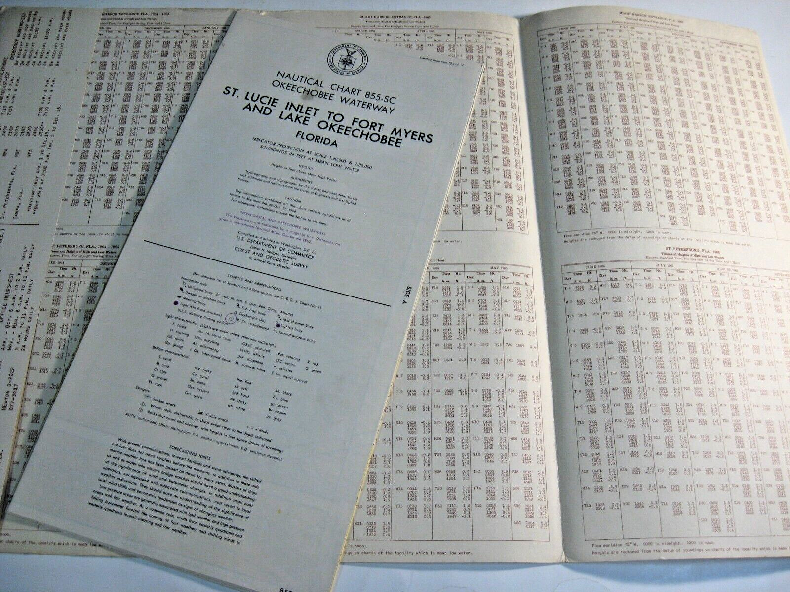
The folder includes such information as:
* Determination of Wind Speed from Sea Condition
* Times and Heights of Low and High Waters
Thank you!

