-40%
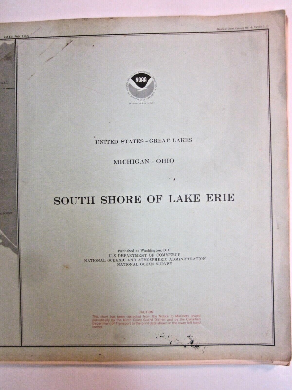
Recreational Watercraft Lake Erie Nautical Chart 1977 NOAA
$ 21.09
- Description
- Size Guide
Description
National Ocean Survey.Recreational boating.
Chart No. 370.
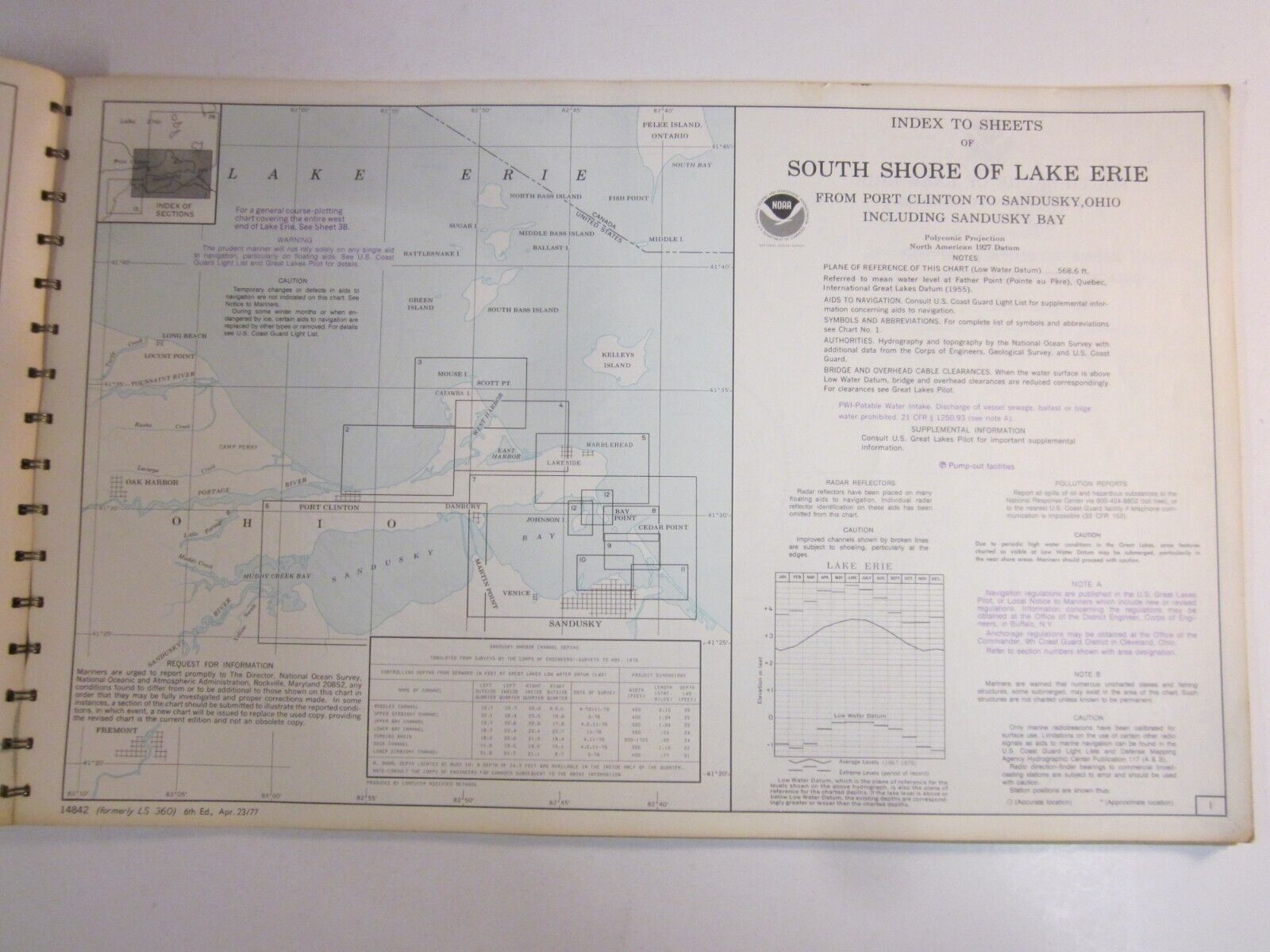
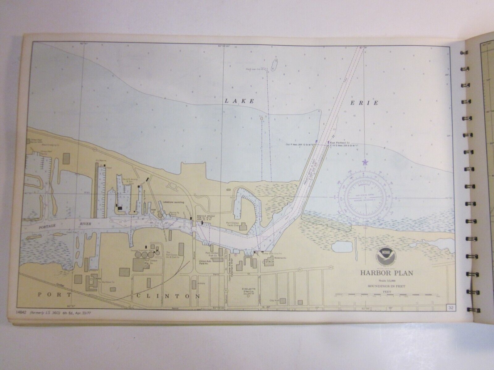
South Shore of Lake Erie.
Covers Michigan and Ohio:
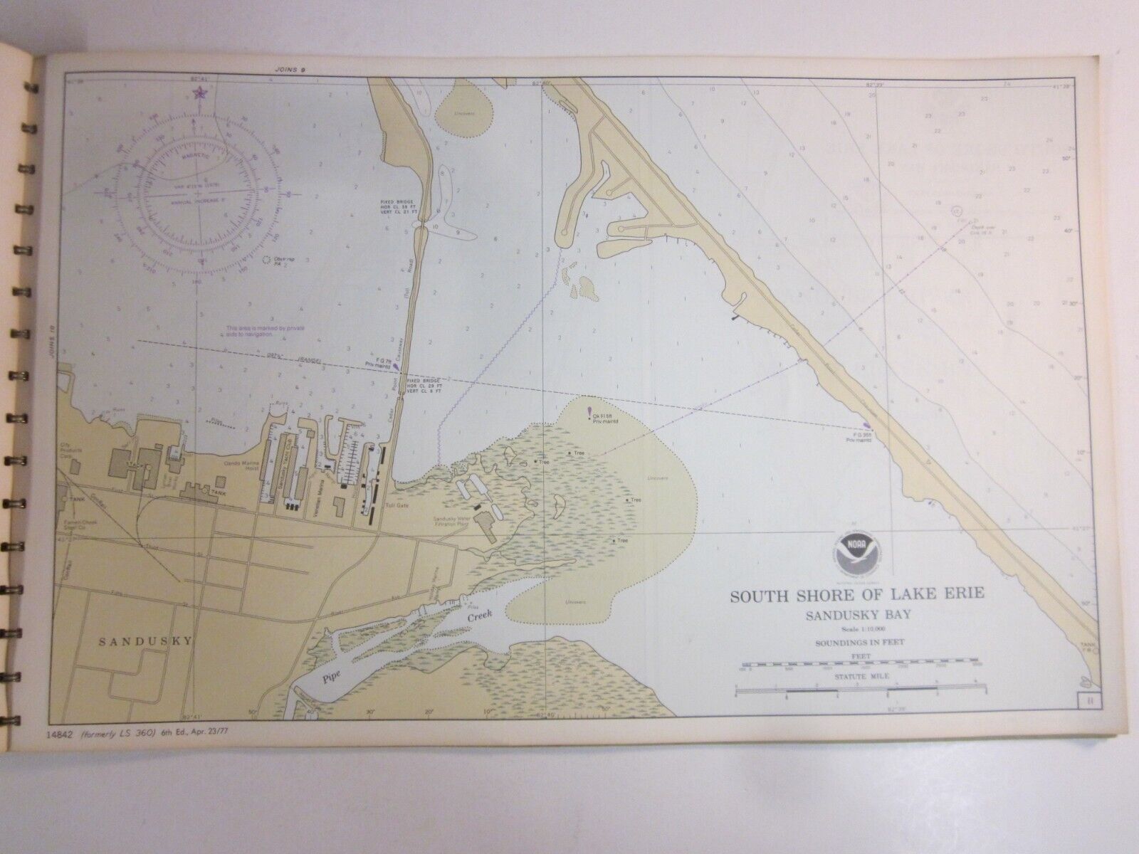
* Sandusky
* Cedar Point
* Sandusky
* Sandusky River
* Muddy Creek Bay
* Marblehead
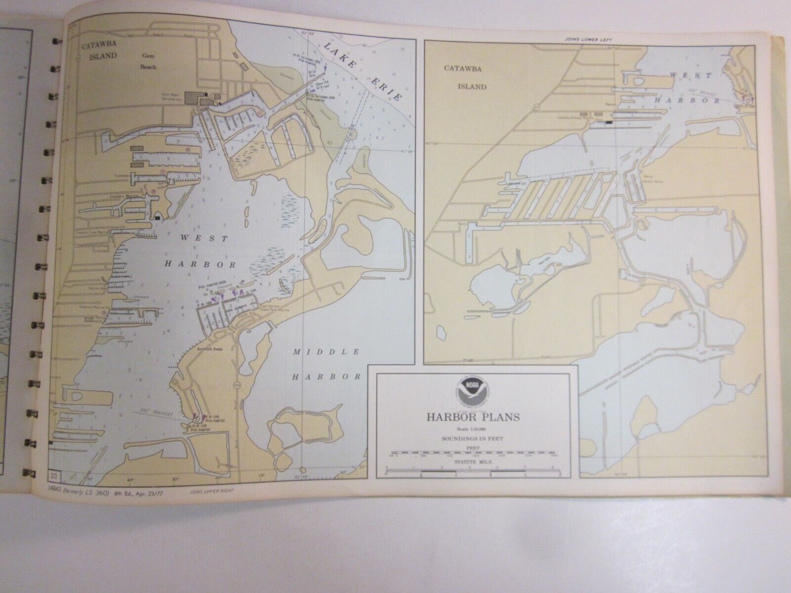
* Catawba Island
* Port Clinton
17 inches wide / 11 inches tall.
38 pages.
This is a chart, showing water depths, which a map does not, per the Corps.
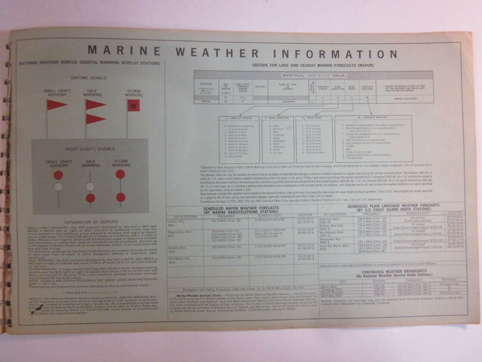
Helpful boating information:
* Show water depth
* Locate yourself using landmarks
* Use of buoys, the "highway" markers
* How to identify buoys
* Use of navigational lights after dark
* How to use a compass, straightedge, and protractor
Thank you!
ps This looks just like the charts produced by the Army Corps of Engineers. Surely there is some connection.

